Waikoloa and Waimea
Waikoloa and Waimea

You Are Here
Locator Map: A white rectangle denotes an area on the northwest shore of the Big Island.
The Big Island was where we spent most of our time on this trip. We drove Rte. 19 between the hotel in South Kohala and the towns of Waimea in the north central region and Kona/Kailua on the southwest coast, several times. I was most fascinated by the landscape: the northwestern quadrant of the island is a desert, and much of the interior region is arid plains. Dry grass and empy stretches of rough lava aren't what you might expect from a tropical paradise, but I really liked it.
Back to Hawaii Main
Back to Ken's Page

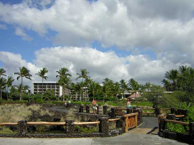
Waikoloa Beach Marriott: A white multi-story building among palm trees in the background; a zig-zag black paved path leads down through lava chunks and scrub grass, across a wooden bridge, to a concrete patio in the foreground.
The Waikoloa Marriott Beach Resort as seen from the beach on the Kohala Coast.
Ken burned and blistered his feet walking barefoot down this path from our room
to the beach on the first day. He learned quickly and acquired a pair of sandals.
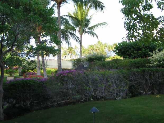
Green lawn in foreground; beyond a green hedge bearing pink flowers a distant stand of palm trees marks the beach
The view toward the beach from our ground-floor room at the Marriott.
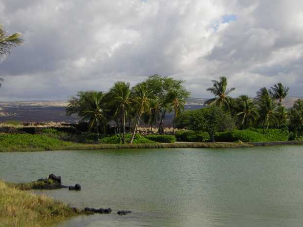
Behind a broad expanse of lightly rippled blue-green water, sculpted hedges and coconut palms only partially hide a vast black and tan desert plain
The fishpond at the Marriott: a natural pond just behind the beach, reserved in
ancient times to the use of Hawaiian royalty only. Behind the palms is the aa
lava and scrub grass desert that covers much of the northwest portion of the
Big Island.
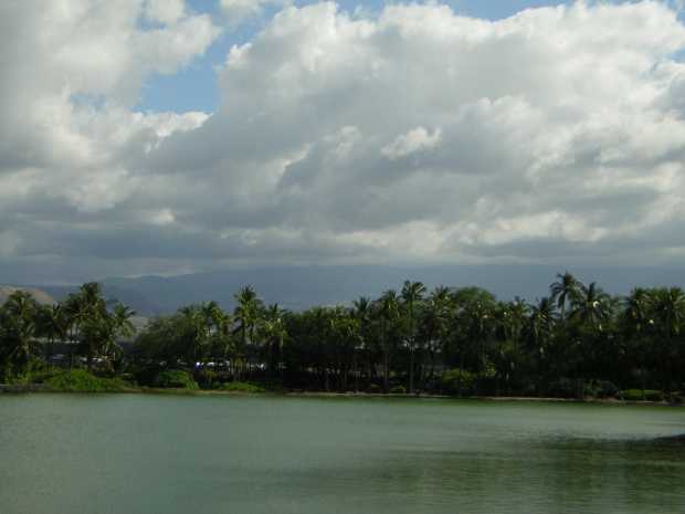
Blue-green water spreads from the foreground to a dense thicket of palms along the shore, behind which a huge, dark mountain rises ponderously under a heavy-clouded sky
The same fishpond, looking more toward the southeast. The rising land behind the
palms is probably Hualalai Mountain, which, at a height of over 8,200 feet, is
still only the third-highest spot on the island.

You Are Here
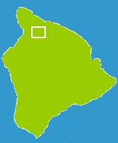
Locator Map: A white rectangle denotes the north central area of the Big Island.
The Road to Waimea

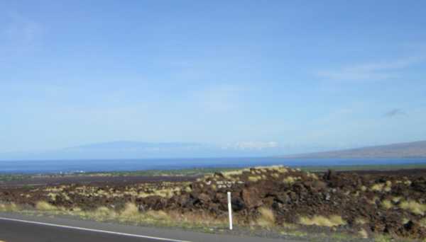
From a roadside, jagged reddish-brown rocky chunks interspersed with yellow-tan tufts of dry grass stretch away to the distant sea, beyond which a shadowy blue mountain rises.
Looking north-northwest from Waikoloa village. In the foreground, just above the
white stake, is a blurry example of the local "rock graffitti", made by placing chunks
of white coral on the black aa lava to form pictures and messages. The mountain
rising dimly beyond the bay is Kohala, the northern peninsula of the Big Island.
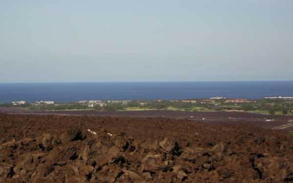
Looking down from a height, a reddish-brown jumble of rough rocks gives way to darker rock, then to a distant green swath of vegetation dotted with white and red buildings; beyond the sea stretches to the horizon.
Looking down from Waikoloa Village to the Kohala Coast. The Marriott is one of
the building clusters to the left.
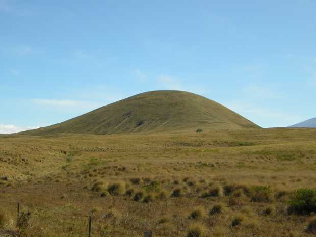
Against a nearly cloudless blue sky, an almost perfectly rounded, greenish tan hill rises suddenly from a nearly flat dry prairie of tufted grass.
One of many examples of small ancient extinct volcano cones that can be found all
over the arid northern uplands of the Big Island. Most of this land is cattle pasture.
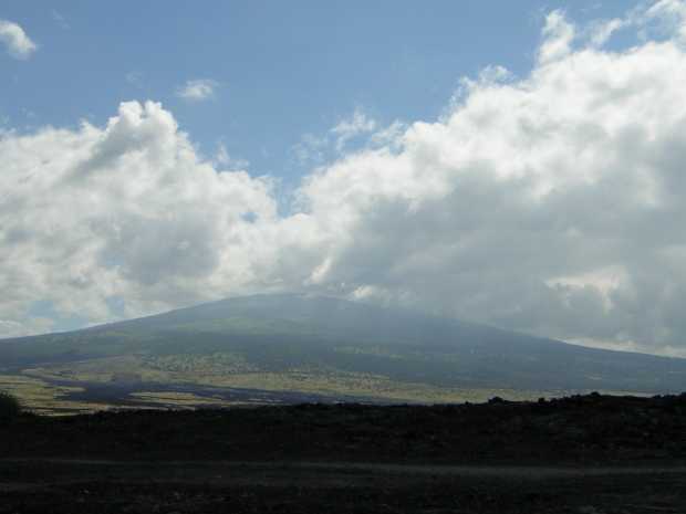
A distant, massively broad mountain rises from the prairie, its flank changing from tan desert to dark-green forest to a shadowed gray-blue bulk whose summit is hidden by cottony clouds.
Looking south toward Mauna Loa from Waikoloa Village.
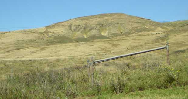
Behind a metal gate and barbed-wire fence, dry grass resembling light-tan velvet covers uneven prairie leading to a low hill whose flank is split by several deep vertical gullies.
Looking toward the town of Waimea from a few miles east.
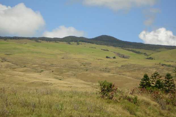
Dry tan and pale green pasture land slopes upward to a dark-green forested summit under blue sky and puffy clouds; a few scrub pine trees stand in the foreground.
From the east-west portion of Rte. 19 in the north of the Big Island, on the way to
Waimea. This is a good illustration of Hawaiian micro climates. The land in the
foreground is too hot and dry to support anything more than tough grass, but just a
few miles away and a couple thousand feet up, forests prosper in a cooler, rainier zone.
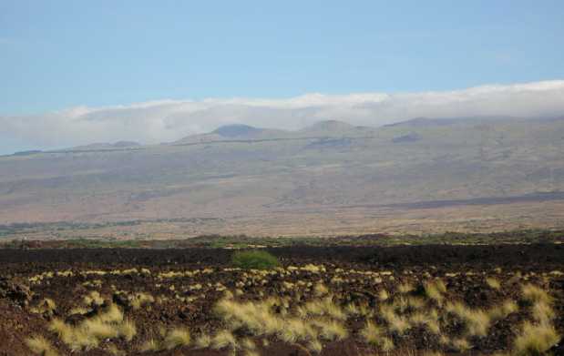
A rough brown and black rocky plain, dotted with tufts of dry grass, stretches before a broad tan and green highland rising majestically to distant forested peaks.
Looking north toward Kohala Mountain from the Waikoloa Village region.
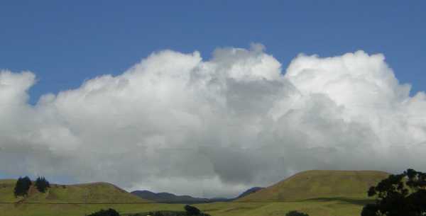
Velvety olive-green hills rise abruptly from a green plain against a backdrop of fluffy grey-white clouds topped with deep blue sky.
This was taken from the parking lot of a shopping center in Waimea; it's been very
heavily retouched to remove a bunch of telephone and light poles and wires.
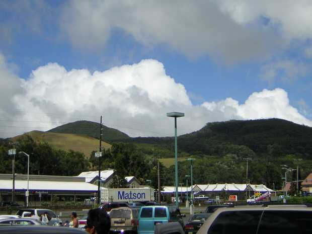
Beyond a parking lot filled with cars, vans, and people, a tractor-trailer bearing the name 'Matson', a McDonalds, and other buildings, stand against a tumble of pale green grassy, and dark green forested, hills.
Another view from the same parking lot. I may eventually retouch this one also.

You Are Here
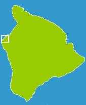
Locator Map: A white rectangle denotes an area on the central west shore of the Big Island.
Mahaiula Bay

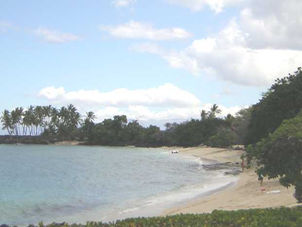
A narrow, pale sand beach curves gently around light blue water, a stand of palm trees in the distance at left, a few people walking on the sand at right.
Mahaiula Bay, on the Kohala Coast a few miles north of Kona/Kailua. This is
in a state park, but the only way to get here is over an extremely nasty so-called
"road" through the lava fields. Bumping and zig-zagging along at 2 miles an hour, it
took 45 minutes, and help from a friendly "spotter" from the car ahead of us, to
negotiate the 1.5 miles from Rte. 19 down to the parking lot. From there it was a
ten-minute walk to the beach you see here. We'd been looking for Makalawena Beach,
which is considered one of the best and least-known beaches on the Big Island,
and thought we'd found it. It turns out, though, that Makalawena Beach was further
north (in the direction you're looking).
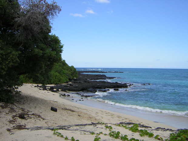
Green leafy vines strewn across white sand beach in the foreground, tall green trees at left, rough black rock spurs jutting into deep blue sea on the right, under a nearly cloudless sky.
Another view of Mahaiula Bay, taken from the area where we swam and
looking back toward where the path to the parking lot begins.
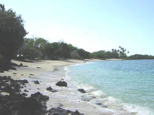
From jumbled sharp black rocks strewn on the water-washed sand in the foreground, the white-sand beach stretches away in a gentle curve with dense vegetation on the left and pale blue ocean on the right.
Mahaiula Bay again, from the far end looking back toward the path to the parking
lot. To the left at this point, among the trees, there are a few large two-story houses
with no glass or screen in their windows. They came with the land that the owners
donated to the state for the park. The real Makalawena Beach lies a bit north of them.

You Are Here
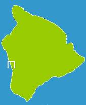
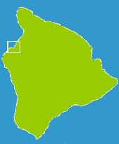
Locator Map: A white rectangle denotes an area on the southwest shore of the Big Island.
Pu'uhonua O Honaunau (Place of Refuge)

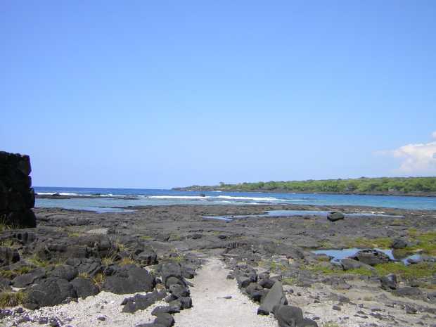
A white sandy path bordered by rough black cobbles leads away toward flat black lava and whitecapped surf beyond. The corner of a black stone wall is at left, and low forest extends out along the water at right.
Taken at the Place of Refuge, south of Captain Cook.
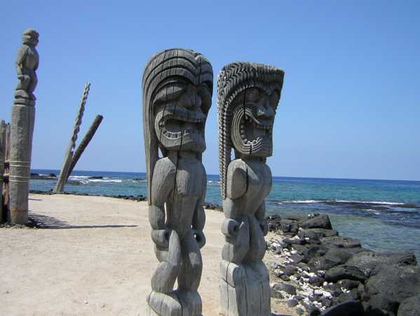
Two 9-foot grey carved wooden statues of humanoids with long hair and snarling mouths full of teeth stand on white sand near a seawall of black rocks; other carved statues and poles stand nearby.
Also at the Place of Refuge. I think these carvings are well-known; certainly I've
seen pictures of them before. There were many other fascinating things at this
place, but unfortunately, my camera batteries died after I got these two pictures.
Back to Hawaii Main
Back to Ken's Page